This one is quite nice, but I wish you would've given the rock more space. If this thing is surrounded by (almost) flat terrain, it will look much more impressive.
This one is quite nice, but I wish you would've given the rock more space. If this thing is surrounded by (almost) flat terrain, it will look much more impressive.
Noted as well
BTW: I transferred the RTC Discussion topic if you want to delete that post. thanks
- First I design the map in plan view (looking strait down at the map).
- Grey scale colors are used to reflect depth. Each grey shade represents a different height. Black = low, White = high.
- When it looks close to what I want, I import as a Heightmap in scenario editor.
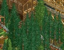
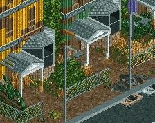
This map is untouched except for color and foliage and it's produced using aerial photos as reference.
Edit: I produce the grey scale plan with (most paint software will work) photoshop, window paint etc.... Draw in pixels typically with 200x200 pxls saved as a .png
Final Edit: Much Credit to Broxzier for Heightmap exposure.
This one is quite nice, but I wish you would've given the rock more space. If this thing is surrounded by (almost) flat terrain, it will look much more impressive.
Something like this? If I could double the height, it would be close to scale.
Something like this? If I could double the height, it would be close to scale.
Dude that looks awesome... If you double the height, I'm interested in seeing how it would turn out, however, I'd recommend making the map even larger if possible.
Dude that looks awesome... If you double the height, I'm interested in seeing how it would turn out, however, I'd recommend making the map even larger if possible.
Definitely a step in the right direction.
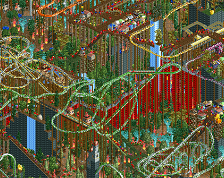
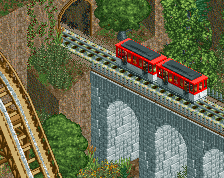
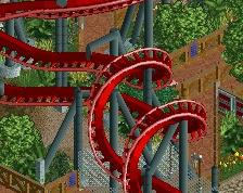
I want to build a coaster off of this sooo bad.
Thanks.
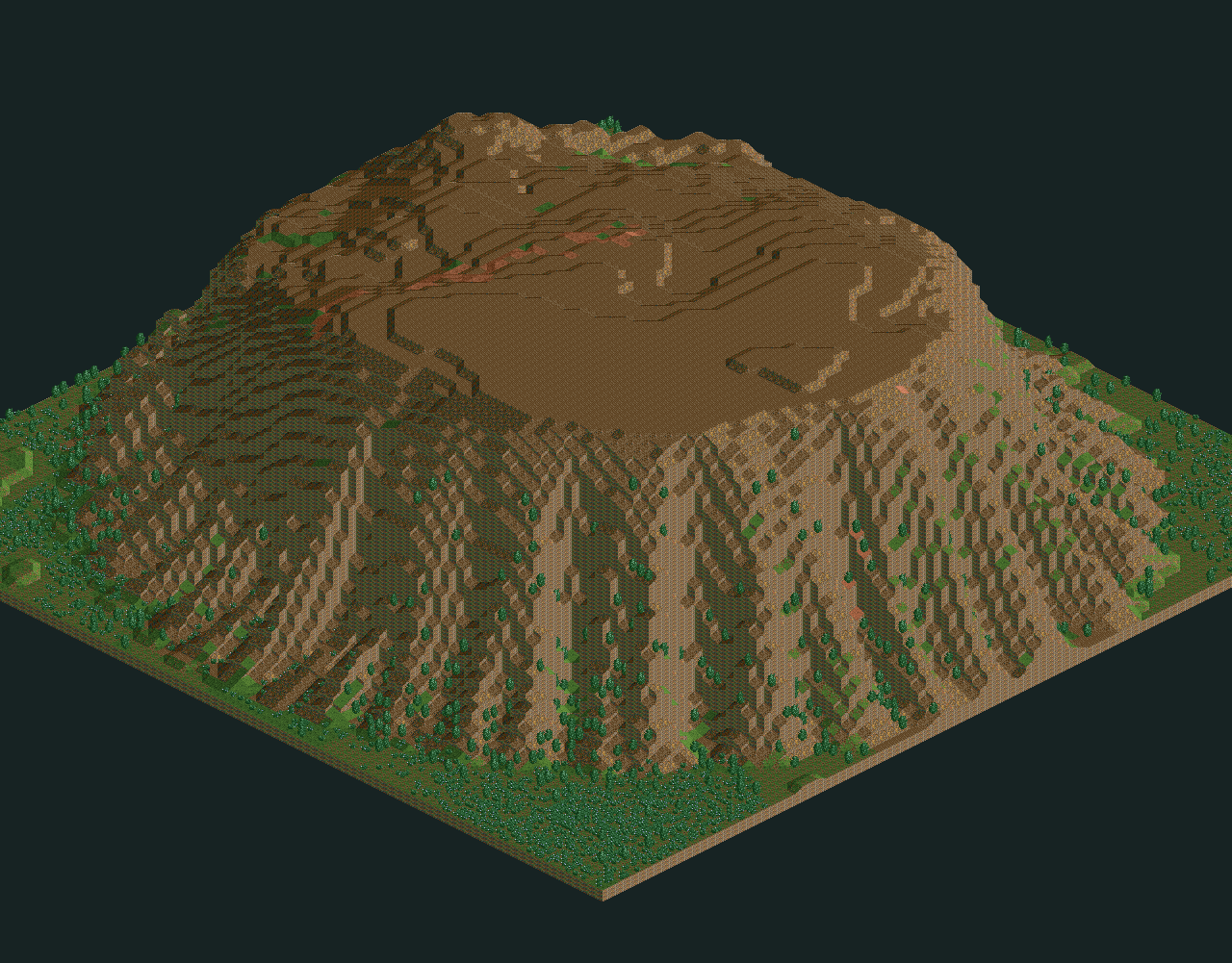
The Map is 150x150.
The Height is at 142 (RCT limit.)
64x64 just about covers the summit.
So proportion became a concern.
Here's the file in scenario format so you can make it your own if you like
 10-June 17
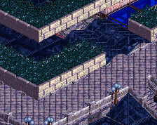
This one is quite nice, but I wish you would've given the rock more space. If this thing is surrounded by (almost) flat terrain, it will look much more impressive.
Noted as well
BTW: I transferred the RTC Discussion topic if you want to delete that post. thanks
Do you do the cliff parts manually?
No.
- First I design the map in plan view (looking strait down at the map).
- Grey scale colors are used to reflect depth. Each grey shade represents a different height. Black = low, White = high.
- When it looks close to what I want, I import as a Heightmap in scenario editor.
This map is untouched except for color and foliage and it's produced using aerial photos as reference.
Edit: I produce the grey scale plan with (most paint software will work) photoshop, window paint etc.... Draw in pixels typically with 200x200 pxls saved as a .png
Final Edit: Much Credit to Broxzier for Heightmap exposure.
Example: This was the grey scale.
.
Something like this? If I could double the height, it would be close to scale.
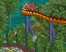
now put a coaster on it
Dude that looks awesome... If you double the height, I'm interested in seeing how it would turn out, however, I'd recommend making the map even larger if possible.
Definitely a step in the right direction.
I want to build a coaster off of this sooo bad.
Thanks.
The Map is 150x150.
The Height is at 142 (RCT limit.)
64x64 just about covers the summit.
So proportion became a concern.
Here's the file in scenario format so you can make it your own if you like
Attached Files
downloads: 203